
Rulo topographic map
Interactive map
Click on the map to display elevation.
About this map
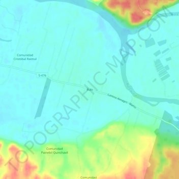
Name: Rulo topographic map, elevation, terrain.
Location: Rulo, Provincia de Cautín, Región de la Araucanía, Chile (-38.78499 -73.00975 -38.74499 -72.96975)
Average elevation: 82 ft
Minimum elevation: 33 ft
Maximum elevation: 230 ft