
Treguaco topographic map
Interactive map
Click on the map to display elevation.
About this map
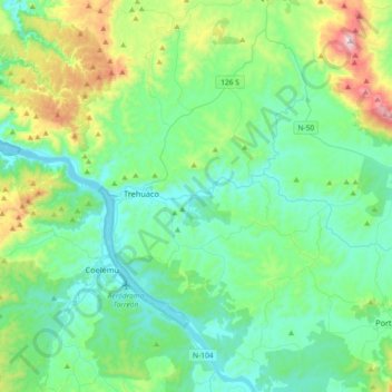
Name: Treguaco topographic map, elevation, terrain.
Location: Treguaco, Provincia de Itata, Región de Ñuble, Chile (-36.53729 -72.86955 -36.32754 -72.50445)
Average elevation: 617 ft
Minimum elevation: 0 ft
Maximum elevation: 2,917 ft
Other topographic maps
Click on a map to view its topography, its elevation and its terrain.
Cajón de Mela
Chile > Región de Ñuble > Treguaco > Cajón de Mela
Cajón de Mela, Treguaco, Provincia de Itata, Región de Ñuble, Chile
Average elevation: 669 ft