
Wuustwezel topographic map
Interactive map
Click on the map to display elevation.
About this map
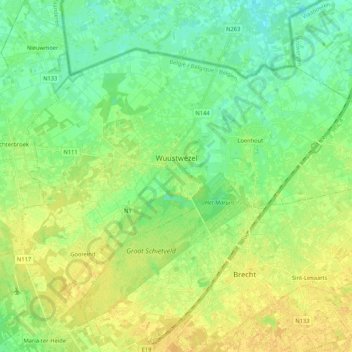
Name: Wuustwezel topographic map, elevation, terrain.
Location: Wuustwezel, Anvers, Flandre, Belgique (51.33757 4.50630 51.43285 4.71698)
Average elevation: 62 ft
Minimum elevation: 26 ft
Maximum elevation: 98 ft