
Leitchville topographic map
Interactive map
Click on the map to display elevation.
About this map
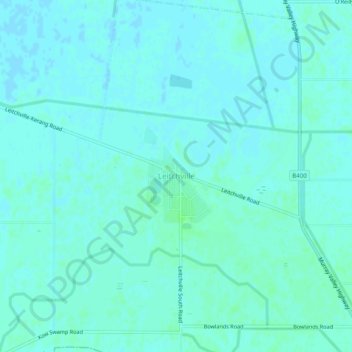
Name: Leitchville topographic map, elevation, terrain.
Location: Leitchville, Shire of Gannawarra, Victoria, Australia (-35.92414 144.28082 -35.88414 144.32082)
Average elevation: 276 ft
Minimum elevation: 269 ft
Maximum elevation: 289 ft
Other topographic maps
Click on a map to view its topography, its elevation and its terrain.
Gunbower National Park
Australia > Victoria > Leitchville
Gunbower National Park, Leitchville, Shire of Gannawarra, Victoria, Australia
Average elevation: 276 ft