
Aasterberg topographic map
Interactive map
Click on the map to display elevation.
About this map
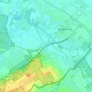
Name: Aasterberg topographic map, elevation, terrain.
Location: Aasterberg, Roerdalen, Limburg, Nederland, 6101, Nederland (51.09112 6.00586 51.13112 6.04586)
Average elevation: 118 ft
Minimum elevation: 92 ft
Maximum elevation: 187 ft