
San Pascual Bailón topographic map
Interactive map
Click on the map to display elevation.
About this map
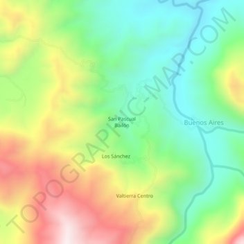
Name: San Pascual Bailón topographic map, elevation, terrain.
Location: San Pascual Bailón, Chapultenango, Chiapas, México (17.30669 -93.12405 17.34669 -93.08405)
Average elevation: 2,018 ft
Minimum elevation: 965 ft
Maximum elevation: 3,612 ft