
Gemeinde Bernstein topographic map
Interactive map
Click on the map to display elevation.
About this map
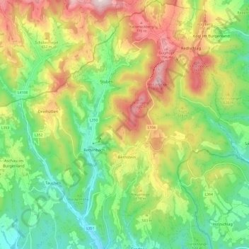
Name: Gemeinde Bernstein topographic map, elevation, terrain.
Average elevation: 1,860 ft
Minimum elevation: 1,257 ft
Maximum elevation: 2,753 ft
Die Gemeinde liegt im Südburgenland auf 619 Meter Seehöhe.