
Aït Sidi Amar topographic map
Interactive map
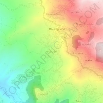
Click on the map to display elevation.
About this map
Name: Aït Sidi Amar topographic map, elevation, terrain.
Location: Aït Sidi Amar, Daïra Bouzguen, Tizi Ouzou, Algérie (36.58914 4.45346 36.62914 4.49346)
Average elevation: 2,346 ft
Minimum elevation: 1,096 ft
Maximum elevation: 3,770 ft