
Matmata topographic map
Interactive map
Click on the map to display elevation.
About this map
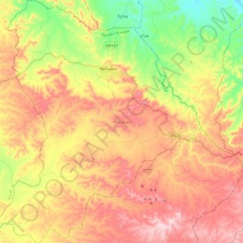
Name: Matmata topographic map, elevation, terrain.
Location: Matmata, Délégation Matmata, Gouvernorat Gabès, 6070, Tunisie (33.42544 9.87668 33.59217 10.04450)
Average elevation: 1,306 ft
Minimum elevation: 577 ft
Maximum elevation: 1,975 ft