
Zone 19 topographic map
Interactive map
Click on the map to display elevation.
About this map
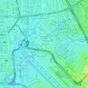
Name: Zone 19 topographic map, elevation, terrain.
Location: Zone 19, Pasay, Fourth District, Philippines (14.52552 121.00406 14.53314 121.01234)
Average elevation: 30 ft
Minimum elevation: 10 ft
Maximum elevation: 72 ft
Other topographic maps
Click on a map to view its topography, its elevation and its terrain.