
Salor topographic map
Interactive map
Click on the map to display elevation.
About this map
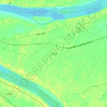
Name: Salor topographic map, elevation, terrain.
Location: Salor, Kota Bharu, Kelantan, 15100, Malaysia (6.00793 102.16156 6.04793 102.20156)
Average elevation: 36 ft
Minimum elevation: -10 ft
Maximum elevation: 69 ft