
Choloma topographic map
Interactive map
Click on the map to display elevation.
About this map
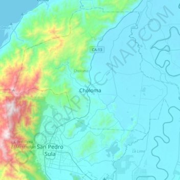
Name: Choloma topographic map, elevation, terrain.
Location: Choloma, Cortés, Honduras (15.45274 -88.11069 15.77274 -87.79069)
Average elevation: 751 ft
Minimum elevation: 0 ft
Maximum elevation: 5,561 ft