
Col d'Ornon topographic map
Interactive map
Click on the map to display elevation.
About this map
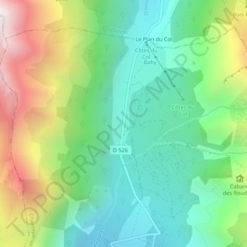
Name: Col d'Ornon topographic map, elevation, terrain.
Average elevation: 5,381 ft
Minimum elevation: 4,029 ft
Maximum elevation: 8,009 ft
Other topographic maps
Click on a map to view its topography, its elevation and its terrain.
Ornon
France > Auvergne-Rhône-Alpes > Ornon
Ornon, Grenoble, Isère, Auvergne-Rhône-Alpes, Metropolitan France, 38520, France
Average elevation: 5,476 ft