
Puerto Bolivar topographic map
Interactive map
Click on the map to display elevation.
About this map
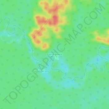
Name: Puerto Bolivar topographic map, elevation, terrain.
Location: Puerto Bolivar, Putumayo, Sucumbíos, Ecuador (-0.10859 -76.16092 -0.06859 -76.12092)
Average elevation: 728 ft
Minimum elevation: 659 ft
Maximum elevation: 863 ft