
Provincia de Carabaya topographic map
Interactive map
Click on the map to display elevation.
About this map
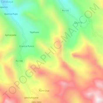
Name: Provincia de Carabaya topographic map, elevation, terrain.
Location: Provincia de Carabaya, Ituata, Carabaya, Puno, Perú (-13.85333 -70.27000 -13.81333 -70.23000)
Average elevation: 13,353 ft
Minimum elevation: 11,873 ft
Maximum elevation: 14,928 ft
Other topographic maps
Click on a map to view its topography, its elevation and its terrain.