Geolocate

Barrage Beni M'Tir topographic map

Interactive map

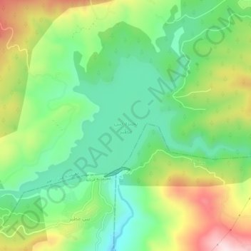
Click on the map to display elevation.

About this map

Name: Barrage Beni M'Tir topographic map, elevation, terrain.

Location: Barrage Beni M'Tir, Avenue de la Terre, Aïn Draham, El Fraijia, Aïn Draham, Jendouba, 9029, Tunisie (36.74300 8.71616 36.76587 8.76519)

Average elevation: 1,640 ft

Minimum elevation: 1,155 ft

Maximum elevation: 2,451 ft

Other topographic maps

Click on a map to view its topography, its elevation and its terrain.

Aïn Draham

Tunisie > Jendouba

Aïn Draham, Jendouba, Tunisie

Average elevation: 1,050 ft

Fernana

Tunisie > Jendouba

Fernana, Jendouba, 8140, Tunisie

Average elevation: 1,273 ft

Oued Mellegue

Tunisie > Jendouba

Oued Mellegue, El Malga, Jendouba Sud, Jendouba, 8100, Tunisie

Average elevation: 459 ft

Oued Meliz

Tunisie > Jendouba

Oued Meliz, Jendouba, Tunisie

Average elevation: 928 ft