
Bolga topographic map
Interactive map
Click on the map to display elevation.
About this map
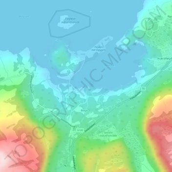
Name: Bolga topographic map, elevation, terrain.
Location: Bolga, Kristiansund, Möre und Romsdal, 6520, Norwegen (63.07475 7.74838 63.09529 7.80305)
Average elevation: 220 ft
Minimum elevation: -10 ft
Maximum elevation: 991 ft