
A Rebordela topographic map
Interactive map
Click on the map to display elevation.
About this map
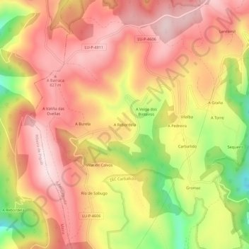
Name: A Rebordela topographic map, elevation, terrain.
Location: A Rebordela, Carballido, Fonsagrada, Galicia, 27110, España (43.21657 -7.17256 43.25657 -7.13256)
Average elevation: 2,372 ft
Minimum elevation: 1,572 ft
Maximum elevation: 2,861 ft