
Mount Tom Taylor topographic map
Interactive map
Click on the map to display elevation.
About this map
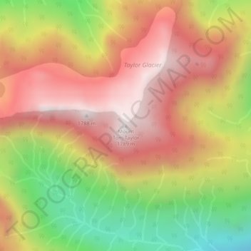
Name: Mount Tom Taylor topographic map, elevation, terrain.
Average elevation: 4,147 ft
Minimum elevation: 2,093 ft
Maximum elevation: 5,751 ft
Other topographic maps
Click on a map to view its topography, its elevation and its terrain.
Barkley Sound
Canada > Colombie-Britannique > Area C (Long Beach)
Barkley Sound, Area C (Long Beach), Alberni-Clayoquot Regional District, Colombie-Britannique, Canada
Average elevation: 3 ft