
Simmonsville topographic map
Interactive map
Click on the map to display elevation.
About this map
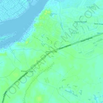
Name: Simmonsville topographic map, elevation, terrain.
Location: Simmonsville, Georgetown County, South Carolina, USA (33.39961 -79.19810 33.43961 -79.15810)
Average elevation: 16 ft
Minimum elevation: -13 ft
Maximum elevation: 46 ft