
Canadaville topographic map
Interactive map
Click on the map to display elevation.
About this map
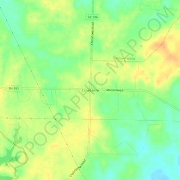
Name: Canadaville topographic map, elevation, terrain.
Location: Canadaville, Fayette County, Tennessee, USA (35.13231 -89.61369 35.17231 -89.57369)
Average elevation: 394 ft
Minimum elevation: 335 ft
Maximum elevation: 446 ft