
Lorton topographic map
Interactive map
Click on the map to display elevation.
About this map
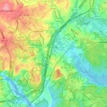
Name: Lorton topographic map, elevation, terrain.
Location: Lorton, Fairfax County, Virginia, United States (38.66687 -77.28193 38.73371 -77.19295)
Average elevation: 167 ft
Minimum elevation: -13 ft
Maximum elevation: 358 ft