
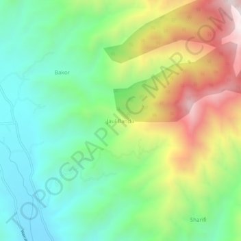
Jaul Banda topographic map
Interactive map
Click on the map to display elevation.
About this map
Name: Jaul Banda topographic map, elevation, terrain.
Location: Jaul Banda, Shangla, Khyber Pakhtunkhwa, Pakistan (35.00725 72.34110 35.04725 72.38110)
Average elevation: 5,528 ft
Minimum elevation: 4,262 ft
Maximum elevation: 7,749 ft