
Kais ⵇⴰⵢⴻⵙ قايس topographic map
Interactive map
Click on the map to display elevation.
About this map
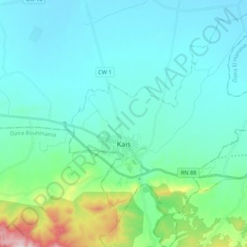
Name: Kais ⵇⴰⵢⴻⵙ قايس topographic map, elevation, terrain.
Location: Kais ⵇⴰⵢⴻⵙ قايس, Daïra Kaïs, Khenchela, Algerien (35.44413 6.88998 35.56759 7.01897)
Average elevation: 3,104 ft
Minimum elevation: 2,812 ft
Maximum elevation: 4,649 ft