
Suerre topographic map
Interactive map
Click on the map to display elevation.
About this map
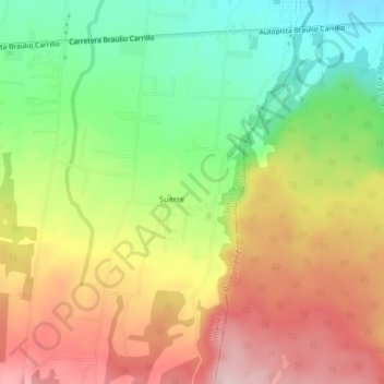
Name: Suerre topographic map, elevation, terrain.
Location: Suerre, Cantón Pococí, Provincia Limón, 70202, Costa Rica (10.16816 -83.77285 10.20816 -83.73285)
Average elevation: 1,119 ft
Minimum elevation: 709 ft
Maximum elevation: 1,555 ft