
Ballybrittas ED topographic map
Interactive map
Click on the map to display elevation.
About this map
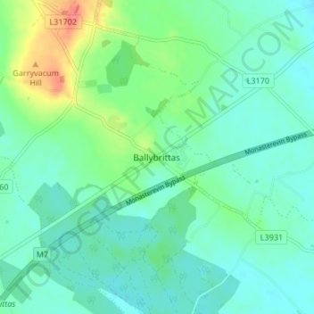
Name: Ballybrittas ED topographic map, elevation, terrain.
Location: Ballybrittas ED, Ballybrittas, County Laois, Leinster, Ireland (53.08970 -7.15560 53.12970 -7.11560)
Average elevation: 259 ft
Minimum elevation: 207 ft
Maximum elevation: 410 ft