
Tumtum topographic map
Interactive map
Click on the map to display elevation.
About this map
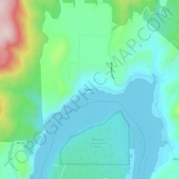
Name: Tumtum topographic map, elevation, terrain.
Location: Tumtum, Stevens County, Washington, États-Unis d'Amérique (47.87156 -117.70301 47.91156 -117.66301)
Average elevation: 1,821 ft
Minimum elevation: 1,522 ft
Maximum elevation: 2,890 ft