
Cumberland Furnace topographic map
Interactive map
Click on the map to display elevation.
About this map
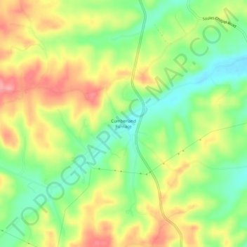
Name: Cumberland Furnace topographic map, elevation, terrain.
Location: Cumberland Furnace, Dickson County, Tennessee, United States (36.24867 -87.37973 36.28867 -87.33973)
Average elevation: 633 ft
Minimum elevation: 482 ft
Maximum elevation: 801 ft