
Gambhir topographic map
Interactive map
Click on the map to display elevation.
About this map
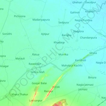
Name: Gambhir topographic map, elevation, terrain.
Location: Gambhir, Bharatpur, Rajasthan, 321001, India (26.99937 77.41164 27.02790 77.55051)
Average elevation: 607 ft
Minimum elevation: 577 ft
Maximum elevation: 791 ft