
Central Point topographic map
Interactive map
Click on the map to display elevation.
About this map
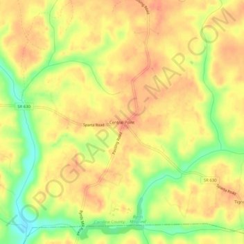
Name: Central Point topographic map, elevation, terrain.
Location: Central Point, Caroline County, Virginia, USA (37.96902 -77.15220 38.00902 -77.11220)
Average elevation: 151 ft
Minimum elevation: 49 ft
Maximum elevation: 203 ft