
Amata topographic map
Interactive map
Click on the map to display elevation.
About this map
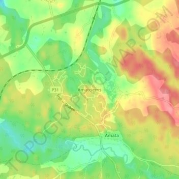
Name: Amata topographic map, elevation, terrain.
Location: Amata, Amatciems, Amatas novads, Vidzeme, Latvia (57.20211 25.27935 57.24211 25.31935)
Average elevation: 482 ft
Minimum elevation: 358 ft
Maximum elevation: 623 ft