
Río Jerte topographic map
Interactive map
Click on the map to display elevation.
About this map
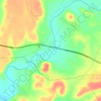
Name: Río Jerte topographic map, elevation, terrain.
Location: Río Jerte, Galisteo, Cáceres, Extremadura, 10690, España (39.96391 -6.28714 40.00250 -6.23930)
Average elevation: 902 ft
Minimum elevation: 784 ft
Maximum elevation: 1,040 ft