Geolocate

Peravoor topographic map

Click on the map to display elevation.

About this map

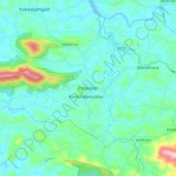
Name: Peravoor topographic map, elevation, terrain.

Location: Peravoor, Iritty, Kannur District, Kerala, 670673, India (11.86135 75.69144 11.94135 75.77144)

Average elevation: 348 ft

Minimum elevation: 135 ft

Maximum elevation: 1,325 ft

Gear up for your next adventure:

🧭Hiking Compass - Precision compass for reliable navigation in the wilderness
🧭GPS Watch Accessories - Bands and chargers for GPS watches
☀️Outdoor Sunscreen - High protection sunscreen for outdoor activities
🧯Portable Fire Pit - Compact fire pit for camping spots
⛑️Personal Locator Beacon - Safety beacon for emergencies

As an Amazon Associate, this site earns from qualifying purchases at no extra cost to you.