
四大家 topographic map
Interactive map
Click on the map to display elevation.
About this map
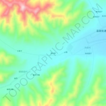
Name: 四大家 topographic map, elevation, terrain.
Location: 四大家, 娘娘庙村, 八里罕镇, 宁城县, 赤峰市, 内蒙古自治区, 中国 (41.44289 118.67754 41.48289 118.71754)
Average elevation: 2,598 ft
Minimum elevation: 2,257 ft
Maximum elevation: 3,406 ft