
Hruševica topographic map
Interactive map
Click on the map to display elevation.
About this map
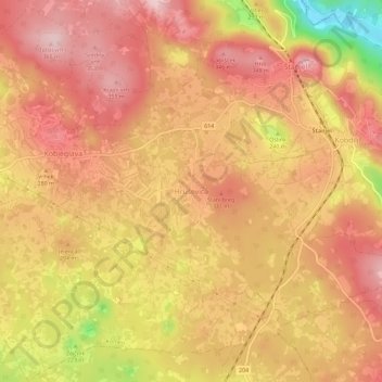
Name: Hruševica topographic map, elevation, terrain.
Location: Hruševica, Komein, Upravna enota Sežana, 6222, Slowenien (45.79063 13.80860 45.83063 13.84860)
Average elevation: 928 ft
Minimum elevation: 400 ft
Maximum elevation: 1,184 ft