
Bir Mokkadem topographic map
Interactive map
Click on the map to display elevation.
About this map
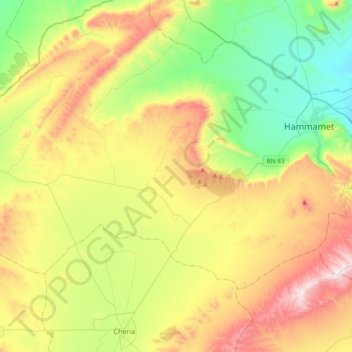
Name: Bir Mokkadem topographic map, elevation, terrain.
Location: Bir Mokkadem, daïra Bir Mokadem, Tébessa, Algérie (35.30761 7.64572 35.50465 8.02207)
Average elevation: 3,750 ft
Minimum elevation: 2,595 ft
Maximum elevation: 5,561 ft