
Martin Van Buren National Historic Site topographic map
Interactive map
Click on the map to display elevation.
About this map
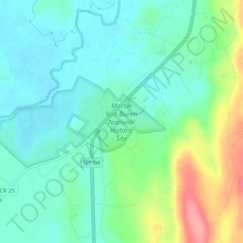
Name: Martin Van Buren National Historic Site topographic map, elevation, terrain.
Average elevation: 262 ft
Minimum elevation: 167 ft
Maximum elevation: 502 ft