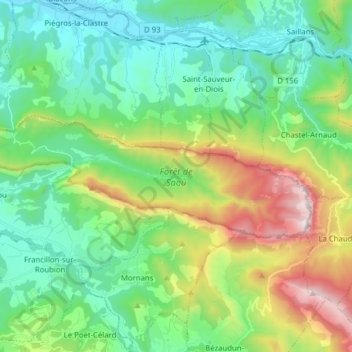
Forêt de Saoû topographic map
Interactive map
Click on the map to display elevation.
About this map
Name: Forêt de Saoû topographic map, elevation, terrain.
Average elevation: 1,955 ft
Minimum elevation: 692 ft
Maximum elevation: 5,128 ft

Click on the map to display elevation.
Name: Forêt de Saoû topographic map, elevation, terrain.
Average elevation: 1,955 ft
Minimum elevation: 692 ft
Maximum elevation: 5,128 ft