
赤石街道 topographic map
Interactive map
Click on the map to display elevation.
About this map
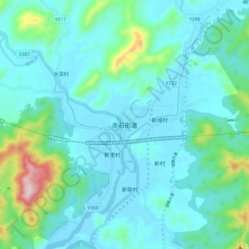
Name: 赤石街道 topographic map, elevation, terrain.
Location: 赤石街道, 海丰县, 汕尾市, 广东省, 中国 (22.83725 115.02857 22.91725 115.10857)
Average elevation: 262 ft
Minimum elevation: -3 ft
Maximum elevation: 1,657 ft