
Northbrook topographic map
Interactive map
Click on the map to display elevation.
About this map
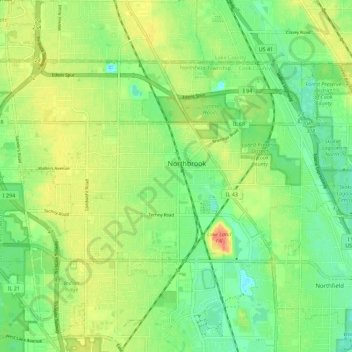
Name: Northbrook topographic map, elevation, terrain.
Location: Northbrook, Cook County, Illinois, 60062, USA (42.09833 -87.89236 42.15300 -87.77996)
Average elevation: 659 ft
Minimum elevation: 597 ft
Maximum elevation: 741 ft