
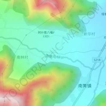
南箐沟ꀑꇈꆹꊰ topographic map
Interactive map
Click on the map to display elevation.
About this map
Name: 南箐沟ꀑꇈꆹꊰ topographic map, elevation, terrain.
Location: 南箐沟ꀑꇈꆹꊰ, 黑林子ꁠꏼꁡꇤ, 越西县, 凉山彝族自治州, 四川省, 中国 (28.54491 102.44557 28.55317 102.47513)
Average elevation: 6,575 ft
Minimum elevation: 5,945 ft
Maximum elevation: 8,186 ft