
Hukumpeta topographic map
Interactive map
Click on the map to display elevation.
About this map
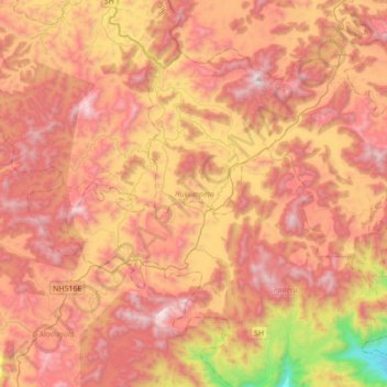
Name: Hukumpeta topographic map, elevation, terrain.
Location: Hukumpeta, Alluri Sitharama Raju, Andhra Pradesh, India (18.00159 82.62019 18.25450 82.97094)
Average elevation: 3,392 ft
Minimum elevation: 367 ft
Maximum elevation: 5,476 ft