
Pennal topographic map
Interactive map
Click on the map to display elevation.
About this map
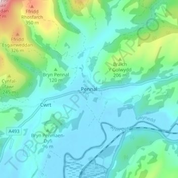
Name: Pennal topographic map, elevation, terrain.
Location: Pennal, Gwynedd, Wales, SY20 9DH, Vereinigtes Königreich (52.56624 -3.94003 52.60624 -3.90003)
Average elevation: 292 ft
Minimum elevation: -7 ft
Maximum elevation: 1,562 ft