
进贤县 topographic map
Interactive map
Click on the map to display elevation.
About this map
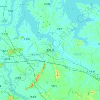
Name: 进贤县 topographic map, elevation, terrain.
Location: 进贤县, 民和街道, 进贤县, 南昌市, 江西省, 中国 (28.21909 116.07753 28.53909 116.39753)
Average elevation: 98 ft
Minimum elevation: 33 ft
Maximum elevation: 732 ft