
Ulme topographic map
Interactive map
Click on the map to display elevation.
About this map
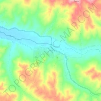
Name: Ulme topographic map, elevation, terrain.
Location: Ulme, Chamusca, Santarém, Portugal (39.29521 -8.45053 39.33521 -8.41053)
Average elevation: 295 ft
Minimum elevation: 66 ft
Maximum elevation: 633 ft