
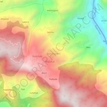
Nandigaon topographic map
Interactive map
Click on the map to display elevation.
About this map
Name: Nandigaon topographic map, elevation, terrain.
Location: Nandigaon, Bageshwar, Uttarakhand, India (29.72623 79.78992 29.76623 79.82992)
Average elevation: 4,511 ft
Minimum elevation: 2,507 ft
Maximum elevation: 6,076 ft