
Urbar topographic map
Interactive map
Click on the map to display elevation.
About this map
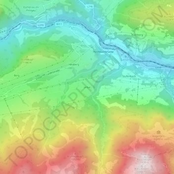
Name: Urbar topographic map, elevation, terrain.
Location: Urbar, Lend, Bezirk Zell am See, Salzburg, 5651, Österreich (47.27218 13.01119 47.31218 13.05119)
Average elevation: 3,471 ft
Minimum elevation: 2,054 ft
Maximum elevation: 5,856 ft