
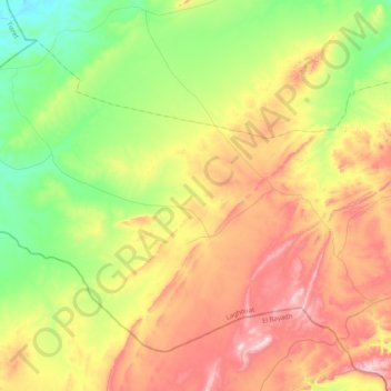
Hadj Mechri topographic map
Interactive map
Click on the map to display elevation.
About this map
Name: Hadj Mechri topographic map, elevation, terrain.
Location: Hadj Mechri, Daïra Brida, Laghouat, Algérie (33.86468 1.33525 34.13035 1.73727)
Average elevation: 4,341 ft
Minimum elevation: 3,780 ft
Maximum elevation: 5,118 ft