Geolocate

Eiffel topographic map

Click on the map to display elevation.

About this map

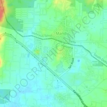
Name: Eiffel topographic map, elevation, terrain.

Location: Eiffel, Sohna, Gurugram District, Haryana, India (28.43255 77.13775 28.43668 77.14247)

Average elevation: 830 ft

Minimum elevation: 787 ft

Maximum elevation: 938 ft

Gear up for your next adventure:

🪶LED Camping Lantern - Bright lantern for camp lighting
🩳Quick‑Dry Hiking Shorts - Comfortable and quick‑dry shorts for summer hiking
🧦Hiking Socks - Comfortable socks to prevent blisters on long hikes
🎁Geography Themed Gifts - Unique gift ideas for map lovers and geography enthusiasts
🗻Climbing Gear Basics - Essential gear for beginner climbers

As an Amazon Associate, this site earns from qualifying purchases at no extra cost to you.