
Kirchberg (SG) topographic map
Interactive map
Click on the map to display elevation.
About this map
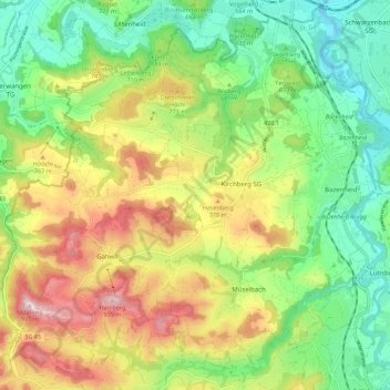
Name: Kirchberg (SG) topographic map, elevation, terrain.
Location: Kirchberg (SG), Wahlkreis Toggenburg, Sankt Gallen, Schweiz (47.37472 8.97148 47.44423 9.08289)
Average elevation: 2,247 ft
Minimum elevation: 1,699 ft
Maximum elevation: 3,084 ft